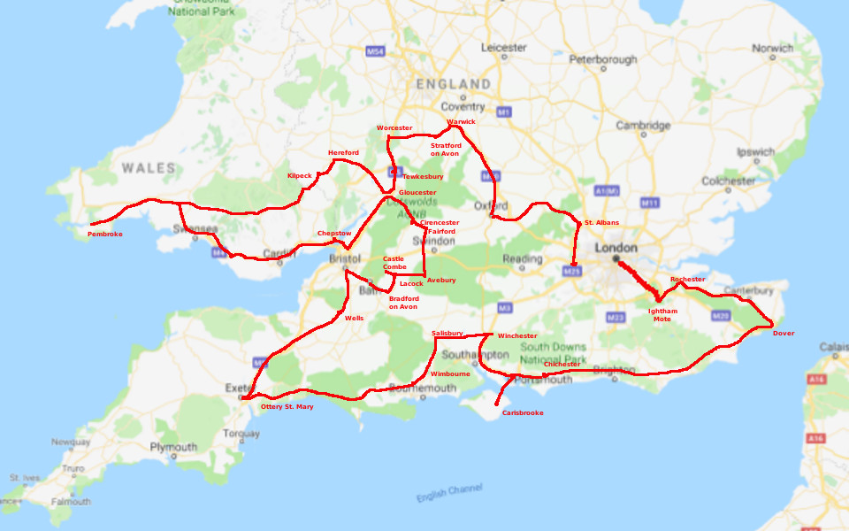
See the map below for locations, and my route. The red line shows my route as driven, approximately. I started at the east end of London to avoid city traffic, and went vaguely clockwise around southern England, returning to Heathrow airport.
The index page lists all the places I visited, with sample photos. Each photo-link takes you to the index page for that place, with more thumbnails. Clicking on one of those gets a full-sized picture, and you can leaf through them by clicking the blue names. “England 2017” takes you back to the main index, “Up” takes you back to the last index page you were at. The links all work (I checked, of course) so you can learn by stumbling around a little. Pretty easy, actually.
My travel diary of what I saw and did is HERE. If you are really interested, you can open up this in one window, and view the pictures in another as you read along.
The album is HERE.